Colorado Wetland Information Center Logo Colorado Wetland Information Center Logo CWIC
  • About CWIC
    • What Are Wetlands?
    • Why Are Wetlands Important?
    • Colorado Wetland Plan
    • Wetland Partners
  • Wetland Types
    • Overview
    • Ecological Systems
    • Natural Plant Communities
    • Field Guides and App
    • Fen Mapping
  • Wetland Condition
    • Overview
    • Ecological Condition
    • Habitat Quality
    • Biodiversity Significance
    • Colorado Wetland Assessment Projects
    • National Wetland Condition Assessment
    • BLM Assessment Inventory and Monitoring
  • Working in Wetlands
    • Overview
    • Conservation
    • Restoration
    • Regulation
    • Best Management Practices
    • Funding and Technical Support
  • Data & Tools
    • Wetlands Mapper
    • Floristic Quality Calculator
    • Landscape Summaries
    • Watershed Toolbox
    • Wetland Plots Database
  • Library
    • Wetland Reports
    • Potential Conservation Areas
    • County Survey Reports
    • Field Guides and App
    • Field Manuals
    • Educational Resources
  • CNHP Home

Wetland Conservation

Click a link below for details.

  • Conserving Colorado's Wetlands
  • Getting Involved in Wetland Conservation
  • Incorporating Wetlands into Watershed Planning

Colorado is home to regionally and globally significant wetland ecosystems. Many of Colorado’s most unique wetlands, including extreme rich fens, have developed over the course of hundreds to thousands of years, and are irreplaceable in our lifetimes.

Wetlands are a critical part of Colorado’s natural heritage, and perform the highest level of ecological functions like providing wildlife habitat and storing water throughout the growing season when they are in a least-altered state. Wetland conservation, including the protection of surrounding terrestrial habitats that support high-functioning wetlands, should be the first priority in natural resource planning, followed by habitat enhancement and restoration, and mitigation for wetland impacts as a last resort.
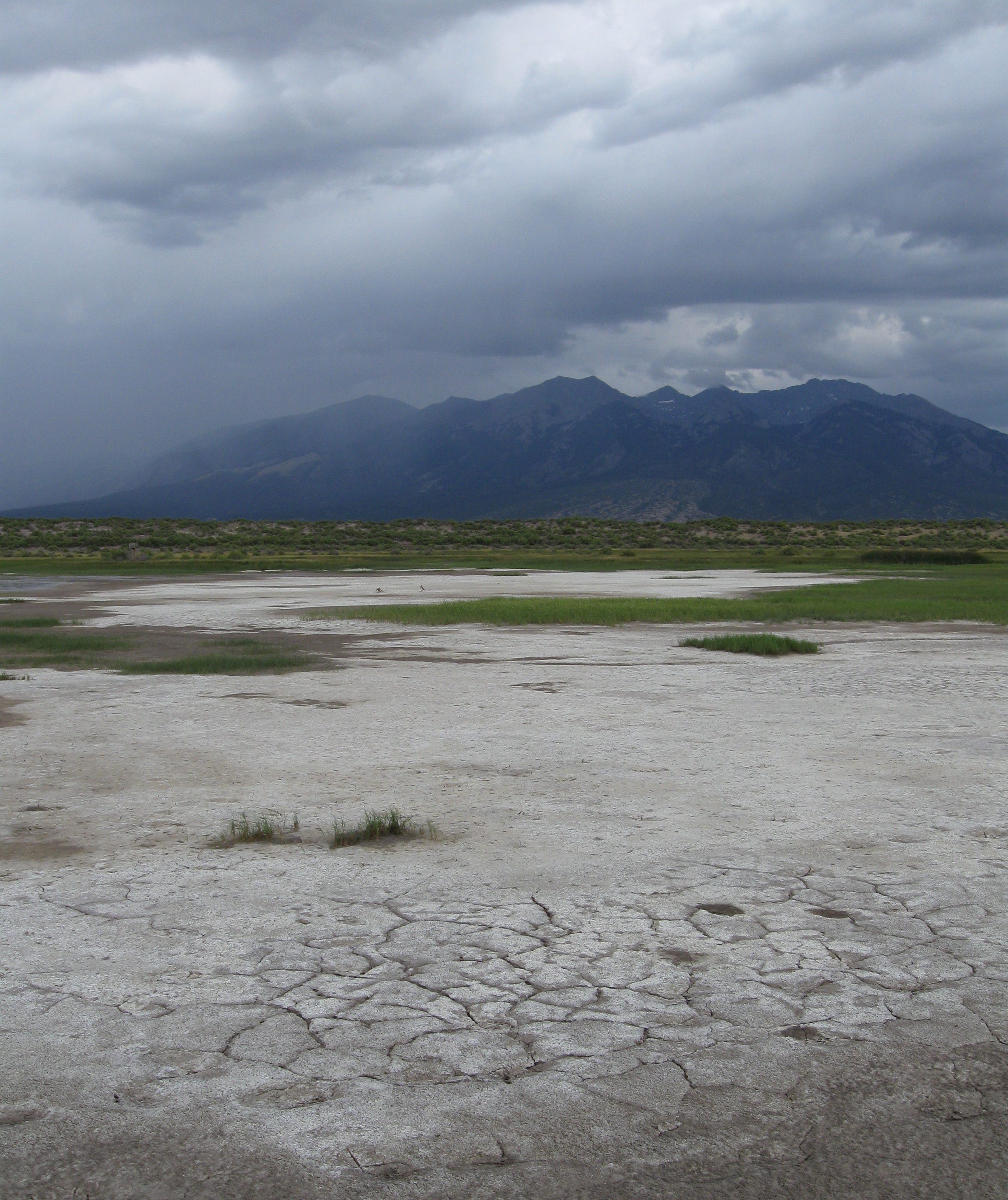
Playa wetland within the San Luis Valley. CNHP Staff.

Conserving Colorado's Wetlands

Back to top

Wetland landscapes cross land ownership and political boundaries, and conserving wetlands involves collaboration and effort across groups and county lines. Conservation planning helps us to identify areas of high conservation priority, groups who can help conserve these areas, and actions that we can take to ensure that future generations can enjoy Colorado’s wetlands.

The Colorado Natural Heritage Program (CNHP) tracks individual wetland species and entire wetland ecosystems of conservation interest, which are often included in Potential Conservation Areas (PCAs). To learn more about these PCAs, you can click on individual PCAs in the Colorado Wetland Inventory mapper, as well as the Watershed Planning Toolbox Mapper.

Additional PCA information can be found in County Surveys that CNHP has carried out across Colorado to document wetlands and terrestrial habitats of high conservation significance. The surveys provide detailed information on rare ecosystems and natural plant communities across the state, along with potential threats and management recommendations.

In addition to mapped priority wetlands, Colorado Parks & Wildlife (CPW) maintains a list of wetland priority species, which also includes a growing number of fact sheets and habitat scorecards to help users identify suitable habitat for these species. The Watershed Planning Toolbox Mapper includes wetland wildlife habitat rankings for amphibians, shorebirds, and other wetland-associated species, along with layers like the National Audubon Society's Important Bird Areas to help users find wetland complexes and other sites with high conservation value for birds across Colorado.
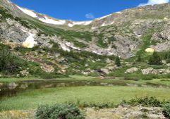
High elevation wetlands within Upper Hall Valley, Park County, CO. CNHP Staff.
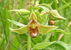
Rare wetlands orchid, Epipactis gigantea. Jill Handwerk, CNHP.
Springs at the Sand Dunes

Getting Involved in Wetland Conservation

Back to top

Interested in helping with or learning more about wetland conservation? Please see our Funding and Technical Support page for resources and opportunities to conserve, restore, and learn more about wetlands in Colorado!

Colorado also has several active Wetland Focus Area Committees (FACs) including stakeholders from private landowners to federal land management agencies and nongovernmental organizations. CPW hosts a map of the FAC regions, as well as contact information for active regional committees.

CNHP Field Ecologists assess the condition of a marsh in the Arkansas Valley. Joanna Lemly, CNHP.
NSwayze_Tyson_PeopleAtWork
Sampling vegetation in an inter-mountain basin playa, San Luis Valley. Conor Flynn, CNHP.

Incorporating Wetlands into Watershed Planning

Back to top

Watershed Plans

Is there an existing watershed or stream management plan that includes your area of interest? Find out via the CNHP Watershed Planning Toolbox Mapper or the Colorado Stream Management Plan map.

The EPA Handbook for Developing Watershed Plans to Restore and Protect our Waters is also a useful resource for groups looking to create and implement watershed plans for water quality or water resource protection.

Watershed Groups

The Colorado Watershed Assembly maintains an interactive mapping tool that allows users to see watershed groups and soil conservation districts in each of the major river basins across the state.

Kettle pond near Hayden, CO. Sarah Marshall, CNHP.

Working in Wetlands

Overview
Conservation
Restoration
Regulation
Best Management Practices
Funding and Technical Support

Related Topics

Wetland Reports
PCA Reports
County Survey Reports
Field Guides and App
Field Manuals
Educational Resources
Watershed Toolbox

Web Projects

  • CODEX - Colorado’s Conservation Data Explorer
  • Rare Plant Guide Online
  • Colorado Wetland Info Center
  • COMaP - Colorado Protected Lands
  • Colorado Bat Working Group
  • STReaMS - Endangered Fishes Database
  • Colorado Native Plant Database Data Portal

About Us

  • About Us
  • Conserving Biodiversity
  • Contact Us
  • Staff Directory
  • Careers
  • Site Map
Warner College of Natural Resources Logo
  • Apply to CSU
  • Equal Opportunity
  • Disclaimer
  • Privacy Statement
  • Search CSU
  • CSU Land Acknowledgement
  • CSU Principles of Community
© 2025 Colorado Natural Heritage Program
Colorado State University Logo
  • About CWIC
    ▼
    • What Are Wetlands?
    • Why Are Wetlands Important?
    • Colorado Wetland Plan
    • Wetland Partners
  • Wetland Types
    ▼
    • Overview
    • Ecological Systems
    • Natural Plant Communities
    • Field Guides and App
    • Fen Mapping
  • Wetland Condition
    ▼
    • Overview
    • Ecological Condition
    • Habitat Quality
    • Biodiversity Significance
    • Colorado Wetland Assessment Projects
    • National Wetland Condition Assessment
    • BLM Assessment Inventory and Monitoring
  • Working in Wetlands
    ▼
    • Overview
    • Conservation
    • Restoration
    • Regulation
    • Best Management Practices
    • Funding and Technical Support
  • Data & Tools
    ▼
    • Wetlands Mapper
    • Floristic Quality Calculator
    • Landscape Summaries
    • Watershed Toolbox
    • Wetland Plots Database
  • Library
    ▼
    • Wetland Reports
    • Potential Conservation Areas
    • County Survey Reports
    • Field Guides and App
    • Field Manuals
    • Educational Resources
  • CNHP Home