


Conservation Planning
Conserving Colorado’s biodiversity is the primary goal that drives all of our work – and is especially critical given the growth of the state’s population and the proliferation of human influences across our landscapes. Through conservation planning, we help landowners, land managers, and land users make informed choices that allow people to pursue their livelihoods, maintain the state’s natural character, and conserve all the plants and animals that live here.
Featured Topics

BIP Dashboard
The Biodiversity Indicators Dashboard Program focuses on supporting national, regional, and global institutions with tools for developing streamlined biodiversity monitoring and reporting systems that track progress toward biodiversity-related targets.
Visit the Biodiversity Indicators Dashboard Program Page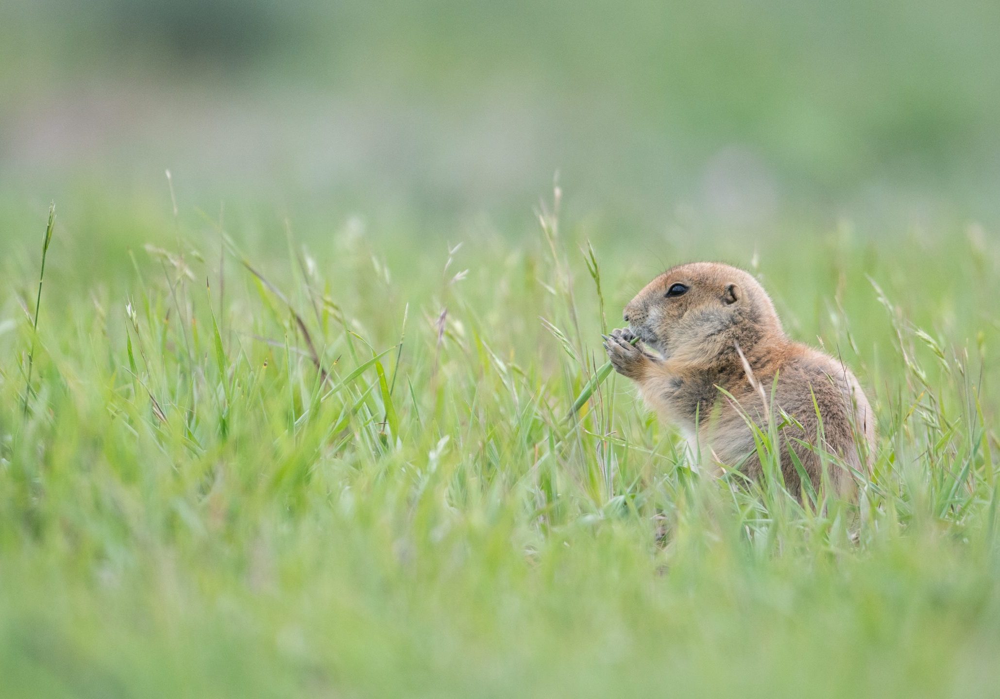
Priority Areas for the Black-Tailed Prairie Dog Ecosystem
Our team has developed a large-scale collaborative conservation planning initiative for the black-tailed prairie dog (BTPD) ecosystem that stretches across North America’s central grasslands. Because prairie dogs are keystone species, their conservation and management often lies at the core of grassland conservation efforts.
Visit the Priority Areas for the Black-Tailed Prairie Dog Ecosystem Page
Roaring Fork Biodiversity and Connectivity Study
This study was a collaborative investigation into the status of biodiversity values and landscape connectivity across the Roaring Fork watershed. Objectives include understanding habitat quality and the highest priority areas for conservation and restoration for focal species and their habitats.
Visit the Roaring Fork Study Page
Planning for Climate Change
CNHP scientists have been exploring potential future climate scenarios, developing methods to analyze potential for distribution shifts and other effects, and working with partners to highlight priorities for management and options for adaption.
Visit the Planning for Climate Change Page
Colorado’s 2015 State Wildlife Action Plan
CNHP worked closely with Colorado Parks and Wildlife to facilitate the revision of our state wildlife action plan which for the first time included plants and Important Plant Areas that support high quality concentrations of rare plant species. This effort drew upon the expertise of many agency and academic scientists, non-governmental organizations, and other stakeholders.
Visit the Colorado’s 2015 State Wildlife Action Plan Page
Measuring Success
CNHP, in partnership with The Nature Conservancy, has developed a prototype analysis of the status of Colorado’s biodiversity, using a “scorecard” approach. We evaluated ecological systems, animals, and rare plants to determine the effectiveness of current conservation. GIS analysis was used extensively in evaluating the health, threats to, and protection levels of Colorado’s rare plants, animals and ecosystems.
Visit the Measuring Success Page
Transportation Planning
CNHP has helped to develop GIS-based methods and tools for improving impact assessments and advance mitigation planning in the context of long-range transportation planning.
Visit the Transportation Planning Page
Conservation Action Plans
CNHP has authored and/or co-authored several Conservation Action Plans many of which identify specific conservation strategies for high quality occurrences of rare plant species.
Visit the Conservation Action Plans Page
Planning for Rare Species Conservation
Planning for conservation of biodiversity can require regional planning or site-specific strategies.
Visit the Planning for Rare Species Conservation Page


