Wetlands help us all by maintaining clean water, providing habitat, helping buffer downstream areas from floods, and supporting recreation and other tourism in Colorado. Given their important role in our watersheds, wetlands are directly and indirectly protected by a series of state, federal, and sometimes local regulations. Whether you are restoring wetlands, or planning to impact a wetland as part of a construction project or permanent development, there are several key considerations for working in Colorado’s wetlands. Before you begin work, consider the following items listed below.
When working in wetlands, including habitat restoration, you may still be impacting existing wetlands—even if your project will result in a net gain in the condition of the plant community or ecological functions.
Examples of wetland impacts
- Temporary fill in wetland areas
- Soil disturbance
- Damage or removal of native wetland vegetation
Another important consideration is how your project will impact areas downslope or downstream. Please see the Best Management Practices for Wetlands page for more information on avoiding wetland impacts during construction, and other land management activities.

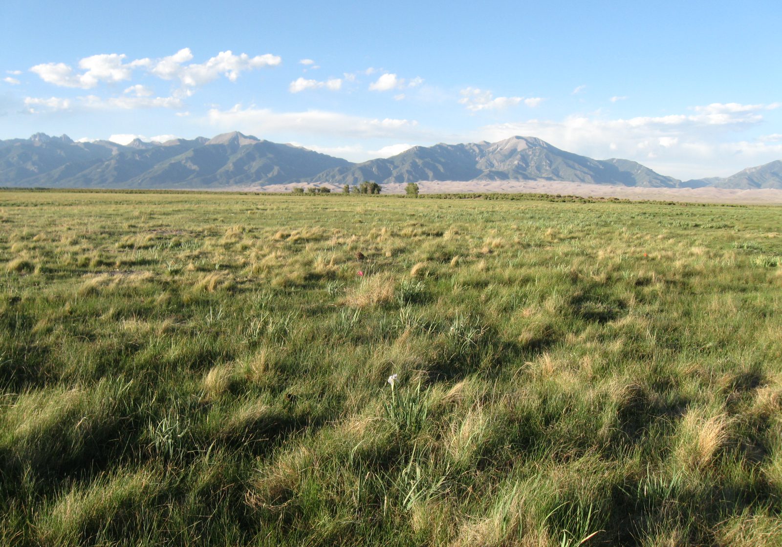

Wetland work that is carried out to compensate for regulated wetland impacts or losses elsewhere (compensatory mitigation) is generally subject to more stringent standards and requirements than voluntary restoration or enhancement. The Association of State Wetland Managers has resources for voluntary wetland restoration and protection, and the U.S. EPA provides specific guidance on compensatory mitigation.

![IMG_3985[1] Woolly sedge (Carex pellita) at the Colorado State Forest Service nursery, Fort Collins. Sarah Marshall, CNHP.](https://cnhp.colostate.edu/cwic/wp-content/uploads/sites/5/bb-plugin/cache/IMG_39851-1024x768-landscape-9f8efa819f0af77504952491a12f6383-5b2be6fe9eccd.jpg)
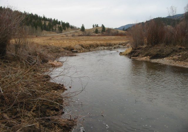
Colorado water law is complex, and the Colorado Division of Water Resources should be consulted during the planning phase of a wetland project regarding water rights. Generally, restoring or creating wetlands to mitigate for wetland losses is not in conflict with downstream water rights as long as the proposed restored or created wetland has a plant community that is hydrologically equivalent to the impacted site (e.g., a site with a sedge meadow should be replaced with grasses, sedges or other herbaceous vegetation with similar evapotranspiration rates), the proposed restoration or creation site is situated such that the impact on downstream water rights is equivalent to the impacted wetland, and the size of the restored or created site does not exceed the size of the impacted site. Restoration activities that are not part of compensatory mitigation may need to acquire water rights, particularly if a site has been dewatered and will require any irrigation for plants to survive, or if existing wetland areas will be expanded.

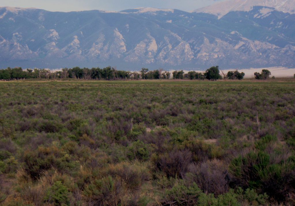
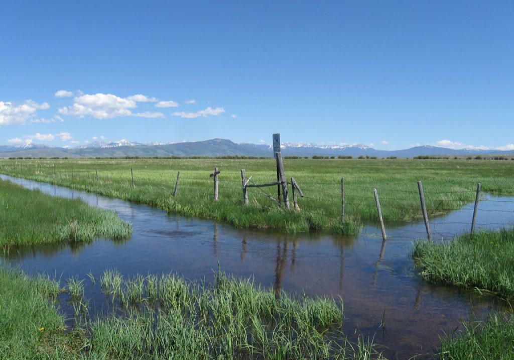
Consult with your city or county floodplain administrator if you are proposing any earthwork (including excavation or fill) or substantial vegetation changes in the 100-year floodplain. Additional flood information can be found on the Colorado Water Conservation Board’s Flood page.
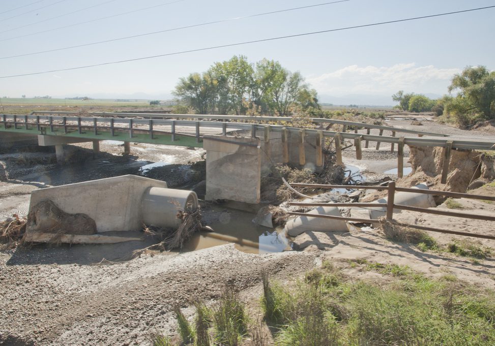


In addition to water law and floodplain regulations, it is important to ensure that wetlands are not adversely impacted by nutrients, sediment, metals, and other nonpoint source pollutants. Wetlands are considered “State waters” in the State of Colorado, and are subject to basic water quality standards. For more information on wetland water quality standards, please also see the EPA’s water quality standards page on this topic.


It is the stated goal of the U.S. government to maintain our current acreage of wetlands. The “No Net Loss” policy was formally adopted in 1989 by the George H.W. Bush administration, and has been re-endorsed in each subsequent administration. The policy utilizes various regulations and incentives to slow development on wetlands, and to offset wetland loss with compensatory mitigation.
Wetland law and policy are constantly changing, and this site is not a comprehensive review of all relevant legislation and documents. A review of the most recent updates for the Clean Water Rule and other legal information related to wetlands and water can be found on the Association of State Wetland Managers Wetland Law & Water-Related Legal Issues page. The Environmental Law Institute (ELI) also maintains a Wetlands Program page with updates on wetland law, as well as a Western Water Law page.
For a list of federal, state, and other funding sources and incentives for wetland conservation and restoration work, please see Funding and Technical Support.
Clean Water Act
Wetlands are generally protected from filling and development under Section 404 of the Clean Water Act (CWA). The primary goal of the CWA is to regulate “waters of the U.S.”, including wetlands, from discharge of dredge or fill materials. While all wetlands within the U.S. were once considered waters of the U.S., the interpretation of this definition has changed based on the 2003 SWANCC and 2008 Rapanos Supreme Court decisions. Today, only wetlands that have a perennial surface water connection to navigable waters of the U.S. are included under the jurisdiction of the CWA, leaving many “isolated” wetlands unregulated. It is important to note that the term “isolated” does not consider the complex network of seasonal and permanent groundwater and surface water pathways that link wetlands to downslope streams, wetlands, and other waterbodies.
CWA regulation requires permitting for all activities that discharge dredge or fill material into any waters of the U.S. Environmental impacts are to be avoided if possible, and mitigated if necessary. Permits are granted by the U.S. Army Corps of Engineers (USACE). If there is no practicable alternative to the filling of a wetland, a development project requires compensatory mitigation. Mitigation can include restoring a degraded or drained wetland, creating a new wetland, enhancing an existing wetland, or preserving an existing wetland. Though the permittee is responsible for mitigation, third parties may take on the mitigation responsibility via mitigation banking. Mitigation banks are wetland areas that have already been created or restored to offset wetland impacts. Permittees can purchase mitigation credits from banks depending on the number of credits required for the area of impacted wetland. Alternatively, in-lieu fee mitigation involves a third party that collects mitigation funds from a large number of permittees and pools these financial resources to create a new mitigation wetland.
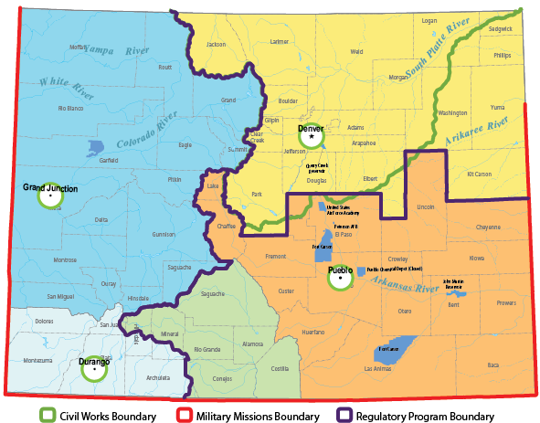
Within Colorado, wetland impacts are regulated by one of three USACE districts and permits and questions are typically addressed by the office closest to the proposed impact area. The EPA maintains an online mapping tool showing CWA Approved Jurisdictional Determinations. A map of the USACE districts, along with contact information (click on map), is provided below.
Swampbuster provisions of the Food Security Act
The Swampbuster program, administered by the U.S. Department of Agriculture’s Natural Resources Conservation Service, provides incentives to farmers who protect wetlands and highly erodible lands (from erosion) on private agricultural lands. Many farmers and ranchers rely on subsidies provided by the Farm Bill, and the Swampbuster program discourages farmers from altering wetlands by withholding Farm Bill funds from landowners who negatively impact wetlands on their land.
Farmers and ranchers cannot access Farm Bill funds if they have:
- Planted agricultural commodities on a wetland converted to upland by drainage, dredging, leveling, or any other means after December 23, 1985
- Converted a wetland for the purpose of agricultural commodity production after November 28, 1990

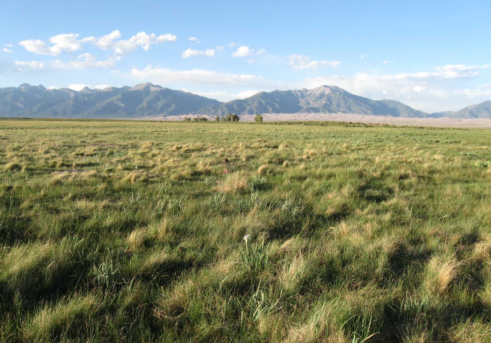

Wetlands are considered “waters of the State” of Colorado, and are one of five categories of classified water body use that are evaluated to determine if a stream or lake is meeting water quality standards. Many stream segments are listed as “including all tributaries and wetlands” in the State’s most recent assessment of which streams and lakes are attaining water quality standards, the Integrated Water Quality Monitoring and Assessment Report.
The Colorado Water Plan also includes wetlands in long-term planning for the state’s water quality and quantity, with the goal that:
The Colorado Department of Public Health and Environment Water Quality Control Commission includes a number of references to wetlands, both in terms of conservation and creating wetlands for water quality treatment, in their list of Colorado Best Management Practices Appropriate for 401 Certification required by Section 401 of the Federal Clean Water Act.


Most Colorado wetlands are only regulated at the federal level, but some cities and counties have stricter wetland regulations and policies. The City of Boulder currently has the strongest local wetland protections in the State, and other counties such as Larimer and Park have wetland protections in their land use code and zoning regulations. Park County’s regulations require a 50 ft buffer between wetlands and most types of land use, and the City of Boulder and Larimer County require a 50-100 ft buffer depending on the size, condition, and/or surrounding land use of a wetland. Contact your local government for information pertaining to wetland regulation in your area.
See Wetland Best Management Practices for more details on how to protect wetlands from construction and other types of disturbance.


