Wetlands
Colorado’s wetlands are as diverse as our state’s geography, ranging from alpine wet meadows and fens to playas and marshes on the plains. CNHP is the leading source of information on wetlands in Colorado. We have produced essential reference guides to Colorado wetland plants, mapped wetlands across the state, and collected field data in thousands of wetlands.
Featured Topics
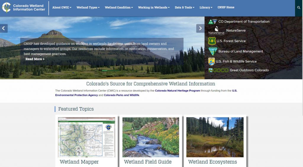
Colorado Wetland Information Center (CWIC)
Details on much of the work CNHP does on wetlands can be found on our standalone wetlands website, the Colorado Wetland Information Center.
Visit the Colorado Wetland Information Center (CWIC) Page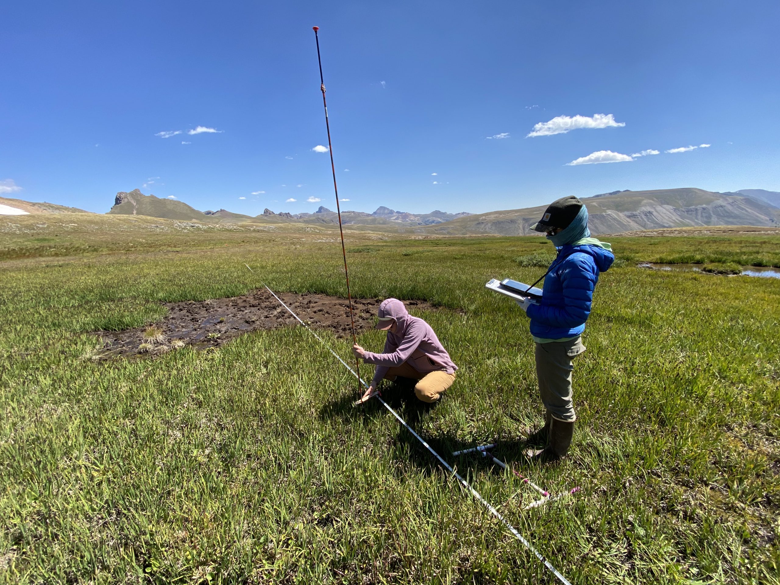
BLM Assessment Inventory and Monitoring
The Bureau of Land Management (BLM) developed the Assessment, Inventory, and Monitoring (AIM) Strategy to standardize monitoring of natural resource condition and trend on BLM public lands.
Visit the BLM Assessment Inventory and Monitoring Page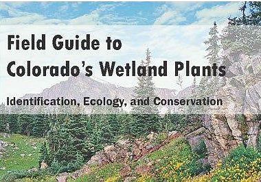
Colorado Wetland Field Guides and App
CNHP has developed several important resources to help identify wetland plants across the state, including an interactive app with detailed descriptions and photos of over 700 plant species.
Visit the Colorado Wetland Field Guides and App Page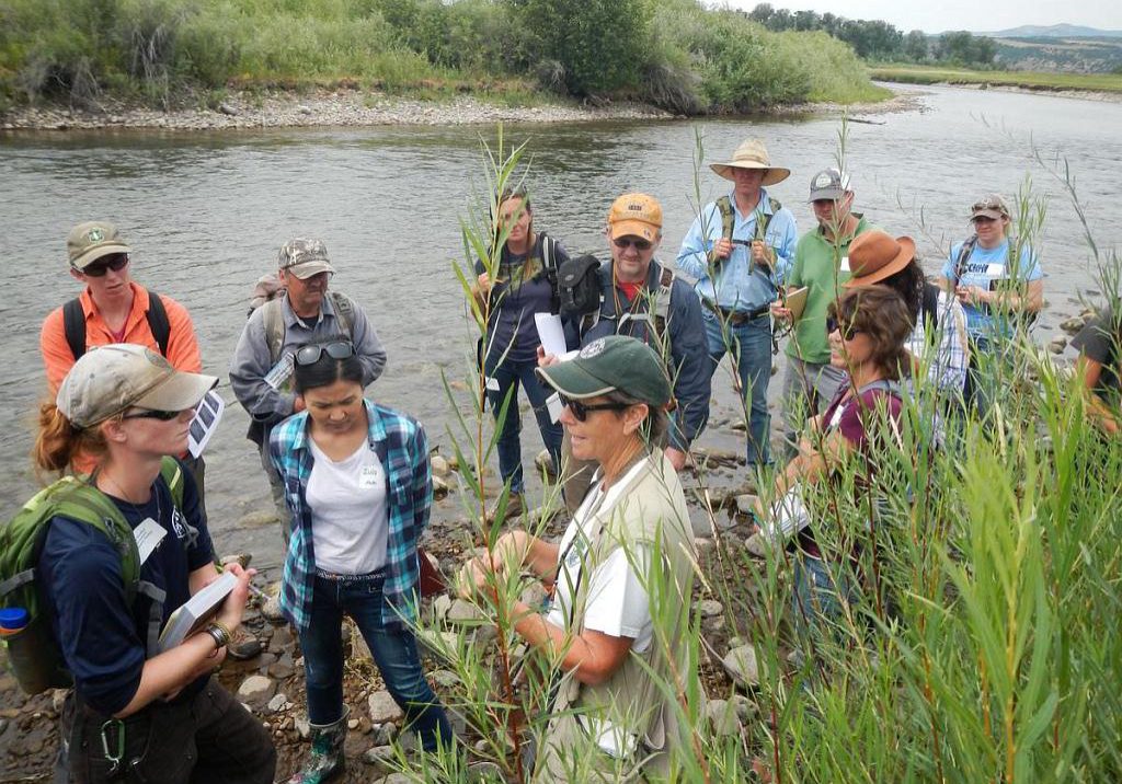
Wetland Plant Identification Workshops
Based on the content of the wetland plant field guides, CNHP teaches workshops each summer on wetland plant identification.
Visit the Wetland Plant Identification Workshops Page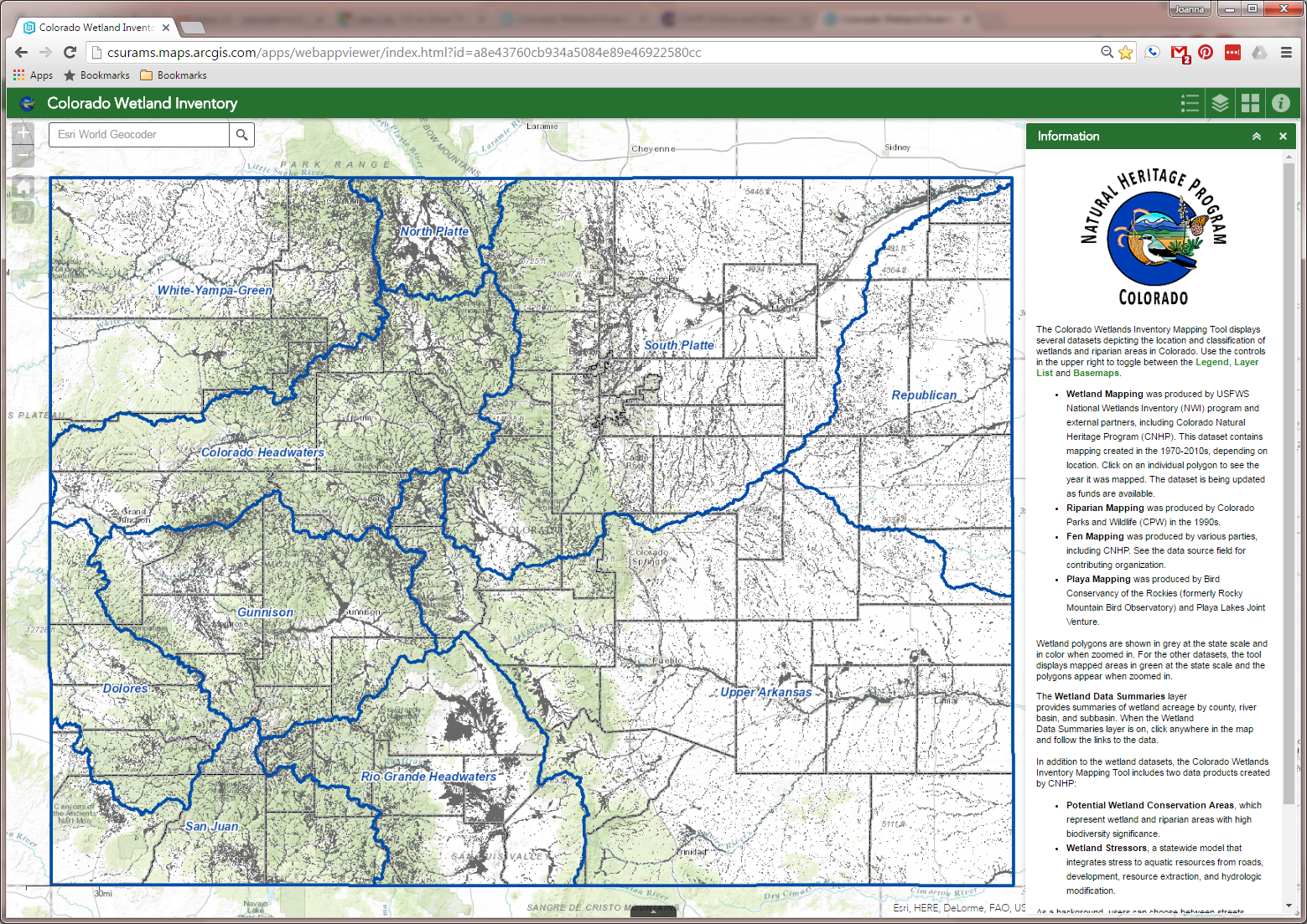
Colorado Wetland Inventory Mapping Tool
Information on the location, extent and type of wetlands in Colorado allows land managers and state agencies to make informed decisions about wetland resources. CNHP’s Colorado Wetland Inventory mapping tool shows detailed wetland mapping created by the CNHP, U.S. Fish and Wildlife Service’s National Wetland Inventory (NWI) program, and several other partners.
Visit the Colorado Wetland Inventory Mapping Tool Page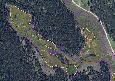
Fen Mapping
Fens are as groundwater-fed wetlands with organic soils that typically support sedges and low stature shrubs. In the mountain west, organic soil formation can take thousands of years. Given the sensitivity of fens, they are a high priority for conservation and restoration. CNHP has developed a particular expertise for mapping fen wetlands using aerial imagery and ancillary data sources.
Visit the Fen Mapping Page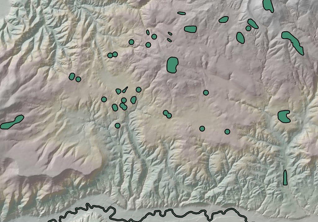
CNHP Element Occurrence Biotics Database of Rare Plants, Animals and Natural Plant Communities
CNHP's database delivers a wealth of information on Colorado's biological diversity, including the location and quality of rare and imperiled plants, animals, and natural plant communities on CNHP's tracking list.
Visit the CNHP Element Occurrence Biotics Database of Rare Plants, Animals and Natural Plant Communities Page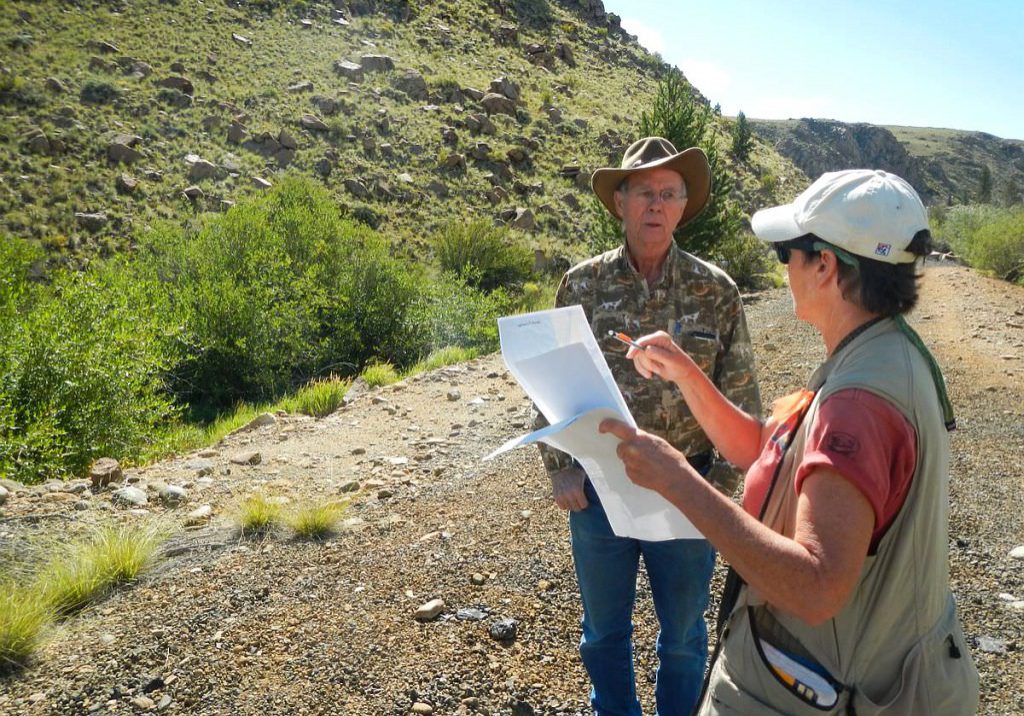
Countywide Surveys of Critical Wetland Resources
Since the mid-1990s, CNHP has conducted surveys to locate and track biologically significant plants, animals, and natural plant communities, many specifically targeting wetlands.
Visit the Countywide Surveys of Critical Wetland Resources Page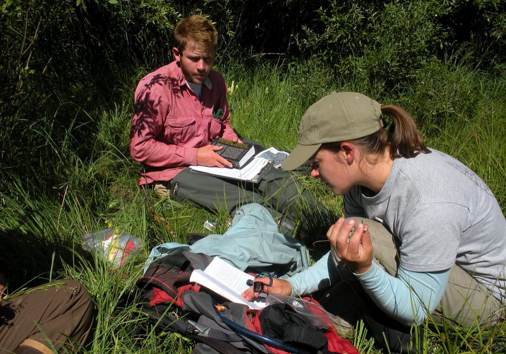
Wetland Condition Assessment
CNHP has developed several methods to assess and monitor the ecological condition, habitat quality and water quality of wetlands throughout the state. These methods have been applied to assess the condition of wetlands in several large scale wetland assessment projects.
Visit the Wetland Condition Assessment Page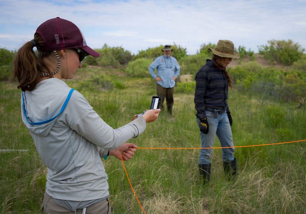
Wetland and Riparian Monitoring
CNHP partners with land management agencies to monitor the condition of wetland and riparian ecosystems in Colorado and across the West.
Visit the Wetland and Riparian Monitoring Page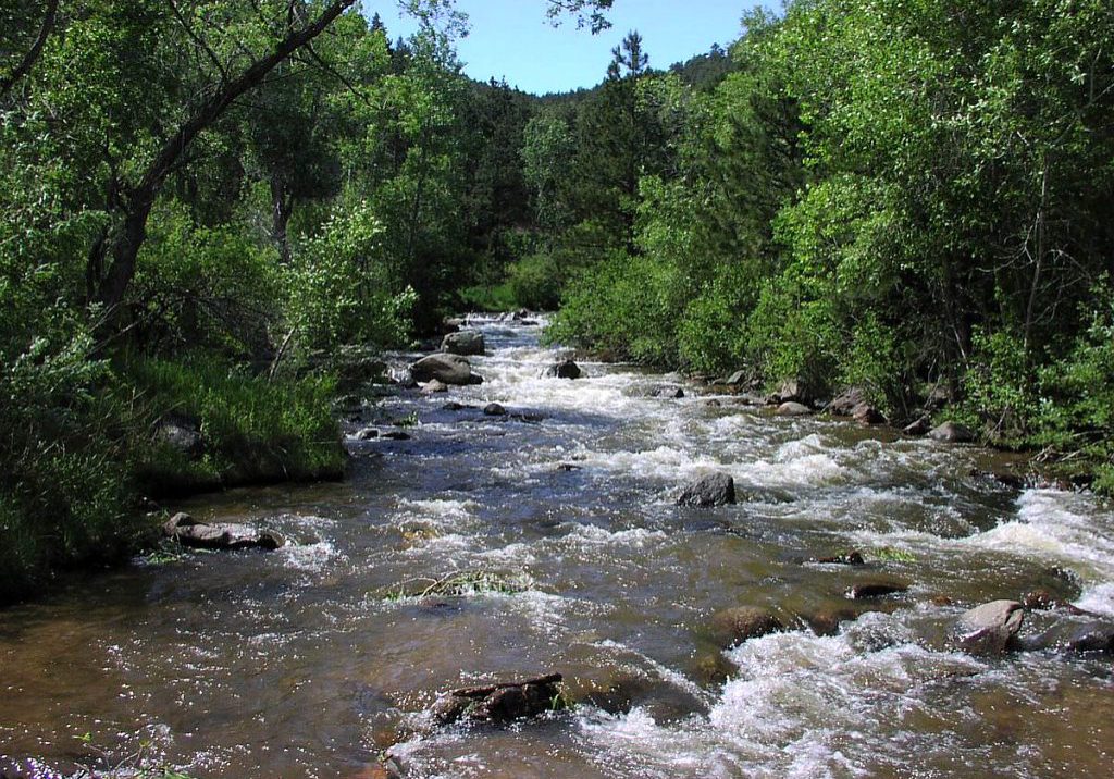
Watershed Planning Toolbox
CNHP is developing an online Watershed Planning Toolbox for the Upper Arkansas and Upper South Platte headwaters. The Toolbox will include an interactive mapping platform that allows users to view wetlands, streams, likely aquatic ecosystem functions, ecological stressors, and high-priority sites for conservation and restoration at the landscape scale.
Visit the Watershed Planning Toolbox Page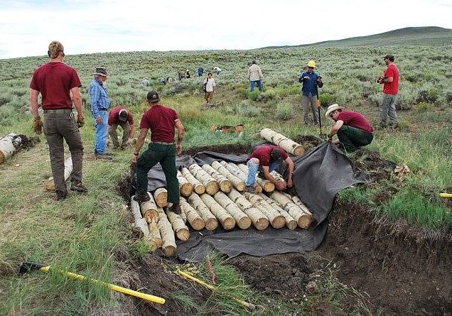
Gunnison Basin Climate Change Adaptation and Wetland Restoration Monitoring
Downcutting of streams, often caused by historic grazing, has lowered the water table in many seasonal wetlands in the Gunnison Basin. As part of ongoing work to address climate change in the basin, a collaborative multi-agency team is restoring seasonal wetlands through small-scale modifications to drainage. Results show that such efforts can enhance the resilience of the wetlands under changing climate conditions.
Visit the Gunnison Basin Climate Change Adaptation and Wetland Restoration Monitoring Page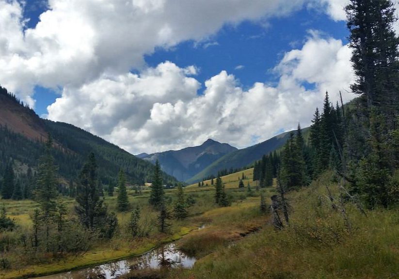
Wetland Ecological Systems
Ecological System are a mid-scale classification system, ideal for conservation assessment, inventory and mapping, land management, ecological monitoring, and species habitat modeling. Wetland condition assessment methods developed by CNHP are based on the ecological systems classification, with metrics specific to certain systems.
Visit the Wetland Ecological Systems Page


