Ecology
Colorado is known for snow-capped mountains, mountain lakes and rivers. However, the state contain so much more! Its boundaries encompass 67 million acres with an elevation range from 3,315 feet to 14,400 feet. The biodiversity of Colorado is reflected in a wide range of ecosystems from shortgrass prairie to alpine tundra; from foothills to montane; and from arid shrubland steppe to the canyons of the Colorado Plateau. CNHP specializes in surveying and cataloging the distribution and condition of Colorado’s native ecosystems. In addition to our central data collection mission, CNHP works on a variety of other ecological projects in Colorado and across the country.
Featured Topics

Ecological Systems of Colorado
While fine-scale classifications like the USNCV are useful for documenting specific plant communities, many conservation and management purposes require a more generalized classification. Ecological Systems are a mid-scale classification system, ideal for conservation assessment, inventory and mapping, land management, ecological monitoring, and species habitat modeling.
Visit the Ecological Systems of Colorado Page
Natural Plant Communities of Colorado
CNHP relies on the U.S. National Vegetation Classification (USNVC) for documenting and tracking natural plant communities within our BIOTICS database. Plant communities, or associations, are the finest level of the USNVC.
Natural Plant Communities of Colorado Project
CNHP Element Occurrence Biotics Database of Rare Plants, Animals and Natural Plant Communities
CNHP's database delivers a wealth of information on Colorado's biological diversity, including the location and quality of rare and imperiled plants, animals, and natural plant communities on CNHP's tracking list.
Biotics - Learn more
Countywide Surveys of Critical Biological Resources
Since the mid-1990s, CNHP has conducted surveys to locate and track biologically significant plants, animals, and natural plant communities.
Visit the Countywide Surveys of Critical Biological Resources Page
National Park Service (NPS) Vegetation Mapping
The National Park Service’s Vegetation Mapping Inventory is an effort to classify, describe, and map detailed vegetation communities in more than 270 national park units across the United States. CNHP has led field data collection and analysis to support the development of vegetation maps within and near NPS units across the country.
Visit the National Park Service (NPS) Vegetation Mapping Page
Global Observation Research Initiative in Alpine Environments (GLORIA)
GLORIA is a long-term, global observation network for the comparative study of climate change impacts on mountain biodiversity, specifically plants. CNHP has been involved in establishing and monitoring GLORIA stations in several National Parks.
Visit the Global Observation Research Initiative in Alpine Environments (GLORIA) Page
Colorado Wetland Information Center (CWIC)
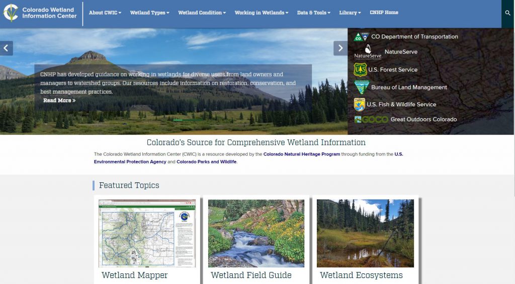
Details on much of the work CNHP does on wetlands can be found on our standalone wetlands website, the Colorado Wetland Information Center.
Visit the Colorado Wetland Information Center (CWIC) Page


