Colorado Natural Heritage Program Logo Colorado Natural Heritage Program Logo CNHP
  • About Us
    • About Us
      • Biennial Report
    • Conserving Biodiversity
    • Events
    • Careers
    • Internships
    • Volunteer
    • The NatureServe Network
    • Partners
    • Staff Directory
  • Our Work
    • Statewide Natural Heritage Survey
    • Ecology
    • Wetlands
    • Plants
    • Animals
    • Climate Change
    • Education
    • Invasive Species
  • Our Services
    • Database Development
    • GIS Analysis & Modeling
    • Mapping
    • Surveys & Inventories
    • Monitoring & Assessment
    • Conservation Planning
    • Private Lands Conservation
  • Data
    • About CNHP Data
    • Tracking Lists
    • Request Data
    • Contribute Data
    • Download Data
    • Potential Conservation Areas
    • Help & Documentation
  • Maps
    • (CODEX) Conservation Data Explorer
    • CNHP Spatial Layers
    • Wetlands Mapper
    • COMaP
  • Library
    • Reports
    • Tracking Lists
    • Potential Conservation Areas
    • Field Guides
      • Rare Plant Guide
      • Colorado Wetland Field Guides
  • Blog
  • Use CODEX Conservation Data Explorer

  • Donate Now

CNHP's Partners Meeting was held March 9, 2018. This meeting is a forum for Colorado’s conservation
organizations to strengthen our collective network and identify priorities that we can address together.

Read More

We advance the conservation of Colorado's native species and ecosystems through science, planning, and education for the benefit of current and future generations.

Read More

Fall color along the Silver Thread byway in the San Juan Mountains. Photo by Michael Menefee.

<p>
CNHP's Partners Meeting was held March 9, 2018. This meeting is a forum for Colorado’s conservation
organizations to strengthen our collective network and identify priorities that we can address together.
<a class="move-right" href="/projects/cnhp-partners-meeting/">
Read More <i class="fa fa-angle-double-right"></i></a>
</p>

CNHP's Siegele internship program is targeted for Colorado State University undergraduate students interested in expanding their knowledge and experience in conservation science.
Read More

CONNECTING SCIENCE WITH CONSERVATION

Latest Blog News

Blog by CNHP Intern, Ronan Johnston

IntroductionThis summer, I had the wonderful opportunity to gain real-world conservation biology work through CNHP’s Siegele Conservation Science […]

IntroductionThis summer, I had the wonderful opportunity to gain real-world conservation biology work [...]

IntroductionThis summer, I had the wonderful [...]

Blog by CNHP Intern, Tao Liu

I had the wonderful opportunity to be a part of the Siegele Internship this summer. Although tiring at […]

I had the wonderful opportunity to be a part of the Siegele Internship this summer. Although tiring at [...]

I had the wonderful opportunity to be a part of [...]

Blog by CNHP Intern, Fin Joyce

I spent this summer as a Siegele Conservation Science Intern honing my skills on a variety of projects […]

I spent this summer as a Siegele Conservation Science Intern honing my skills on a variety of projects [...]

I spent this summer as a Siegele Conservation [...]

Blog by CNHP Intern, McCain Maya

This summer, I had the great opportunity to work on several projects with the Colorado Natural Heritage Program […]

This summer, I had the great opportunity to work on several projects with the Colorado Natural Heritage [...]

This summer, I had the great opportunity to work [...]

Connecting Science With Conservation

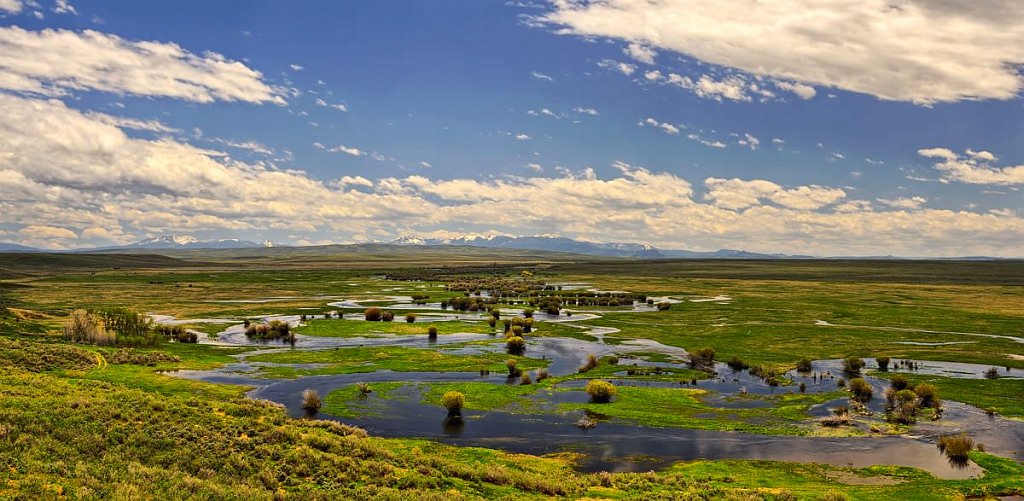
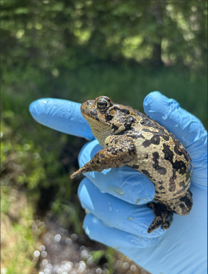
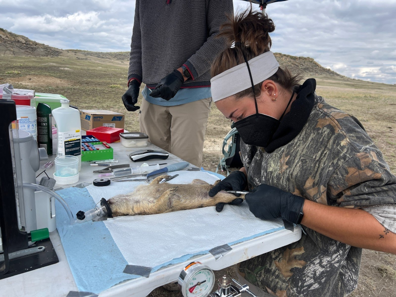
The Colorado Natural Heritage Program is Colorado’s only comprehensive source of information on the status and location of Colorado’s rarest and most threatened species and natural plant communities. We share information with a wide range of stakeholders in partnerships that work to ensure the Colorado’s biodiversity resources are not diminished. CNHP has an enormous impact on conservation in Colorado through these partnerships.

CNHP is a proud member of the NatureServe Network.

.

Featured Topics

Wetland Field Guide Cover

Field Guides

CNHP currently has field guides for Colorado's Rare Plants, Wetland Plants and Wetland Plant Associations.

Read More
The State of Colorado's Biodiversity Cover Photo

Biodiversity Status

Prototype analysis of the status of Colorado’s biodiversity, using a “scorecard” approach.
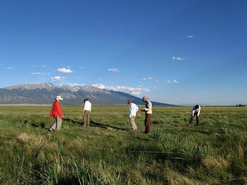
Read More
cathedralparkfallcorrected

County Surveys

CNHP regularly surveys for biological resources in Colorado counties helping to create a clearer picture of our biodiversity.

Read More

Web Projects

  • CODEX - Colorado’s Conservation Data Explorer
  • Rare Plant Guide Online
  • Colorado Wetland Info Center
  • COMaP - Colorado Protected Lands
  • Colorado Bat Working Group
  • STReaMS - Endangered Fishes Database
  • Colorado Native Plant Database Data Portal

About Us

  • About Us
  • Contact Us
  • Staff Directory
  • Careers
  • The NatureServe Network
  • Partners
  • Site Map
Warner College of Natural Resources Logo
  • Apply to CSU
  • Equal Opportunity
  • Disclaimer
  • Privacy Statement
  • Search CSU
  • CSU Land Acknowledgement
  • CSU Principles of Community
© 2026 Colorado Natural Heritage Program
Colorado State University Logo
  • About Us
    ▼
    • About Us
      ▼
      • Biennial Report
    • Conserving Biodiversity
    • Events
    • Careers
    • Internships
    • Volunteer
    • The NatureServe Network
    • Partners
    • Staff Directory
  • Our Work
    ▼
    • Statewide Natural Heritage Survey
    • Ecology
    • Wetlands
    • Plants
    • Animals
    • Climate Change
    • Education
    • Invasive Species
  • Our Services
    ▼
    • Database Development
    • GIS Analysis & Modeling
    • Mapping
    • Surveys & Inventories
    • Monitoring & Assessment
    • Conservation Planning
    • Private Lands Conservation
  • Data
    ▼
    • About CNHP Data
    • Tracking Lists
    • Request Data
    • Contribute Data
    • Download Data
    • Potential Conservation Areas
    • Help & Documentation
  • Maps
    ▼
    • (CODEX) Conservation Data Explorer
    • CNHP Spatial Layers
    • Wetlands Mapper
    • COMaP
  • Library
    ▼
    • Reports
    • Tracking Lists
    • Potential Conservation Areas
    • Field Guides
      ▼
      • Rare Plant Guide
      • Colorado Wetland Field Guides
  • Blog
  • Use CODEX Conservation Data Explorer

  • Donate Now

Spatial layers created for the BTPD Habitat Suitability Model`

Methods used for building the BTPD Habitat Suitability Model.

Methodological approach for identifying suitable landscapes for the black-tailed prairie dog (BTPD) ecosystem conservation.

Maps of state-level high conservation potential habitat (top 10% and 30%) for the black-tailed prairie dog ecosystem, under current and future climates (present, warm/wet, hot/dry, and overlaps

Maps of range-wide high conservation potential habitat (top 10% and 30%) for the black-tailed prairie dog ecosystem, under current and future climates (present, warm/wet, hot/dry, and overlaps

LandownershipArea (km2)Percent (%)
Private63,44765.4
Federal14,02114.5
State9,3479.6
Indigenous lands7,7798.0
NGO/private conservation2,2502.3
Local/Regional1000.1
Total96,944100
Overlap of top 10% high conservation potential areas with land ownership types
StateArea (km2)Percent (%)
Colorado24,08424.8
Montana19,40120.0
South Dakota19,33119.9
Wyoming18,94719.5
New Mexico7,0827.3
Nebraska2,5252.6
Arizona1,8451.9
Texas1,5521.6
Oklahoma1,0591.1
North Dakota6990.7
Kansas4200.4
Total96,944100
Lands with high conservation potential (Top 10%) for the prairie dog ecosystem, by state.