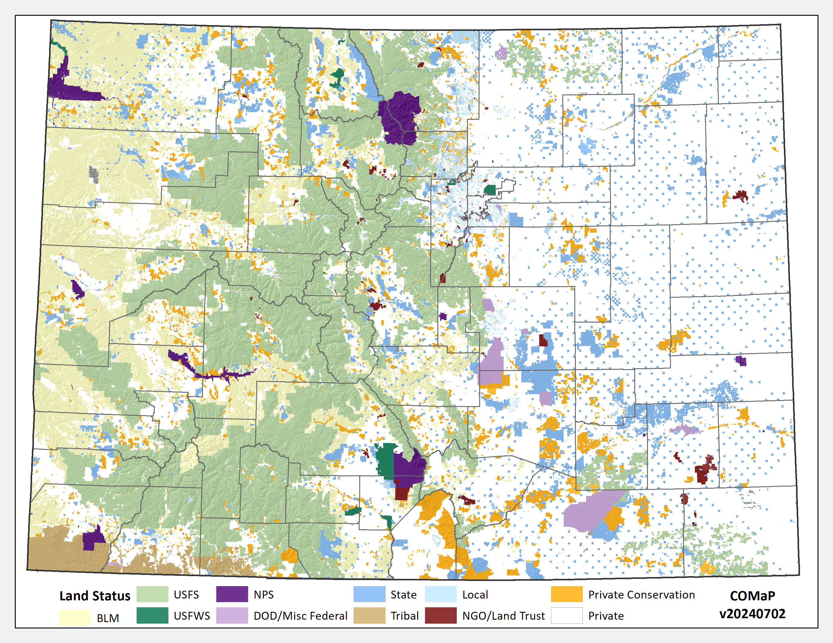
COMaP- Colorado Ownership, Management and Protection database
Find local open spaces, natural areas, parks, and conservation easements. Identify which ecosystems or species lack adequate protection. Analyze patterns, identify wildlife corridors, or find stakeholders and partners. Calculate the benefits of open space. Promote your recreation areas or scope out new areas to protect. If you need information to support these tasks and more, COMaP is the dataset for you!

COMaP is the state’s premier map of protected lands featuring over 28,000 entries of protected land polygons from over 300 different data sources. Each feature on the map contains a suite of attributes such as owner, manager, easement holder, public access, and more. Since its inception in 2004 at Colorado State University, COMaP has become the go‐to resource for land managers, land owners, and the conservation community.
COMaP is offered as a service and requires registration. Check out our website at https://comap.cnhp.colostate.edu/
Free registration includes:
- Access to the online interactive map where you can load in your Google map layers or zipped shapefiles, download spreadsheets, and add notes to the map
- A download page to access the latest GIS files, with options to host your own map service for outward-facing websites
- Periodic data updates


Left-click to view, and right-click to download.


