


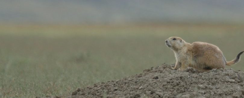
Black-tailed prairie dog colonies cycle through booms and busts driven by sylvatic plague, a flea-borne bacterial disease, creating planning and management challenges for conservationists and livestock producers alike. PDOG MAPR (Prairie Dog Management and Planning Resource) is a free, web-based decision support tool that forecasts those swings a year at a time. Users upload their colony boundaries, optionally add proposed plague-mitigation or lethal-control areas, and the tool returns spatial forecasts of colony growth or collapse and plague risk.
The tool helps users identify when and where to apply management interventions to meet site-specific objectives, reduce the risk of large-scale colony collapse, and support coexistence between prairie dog ecosystems and working lands.
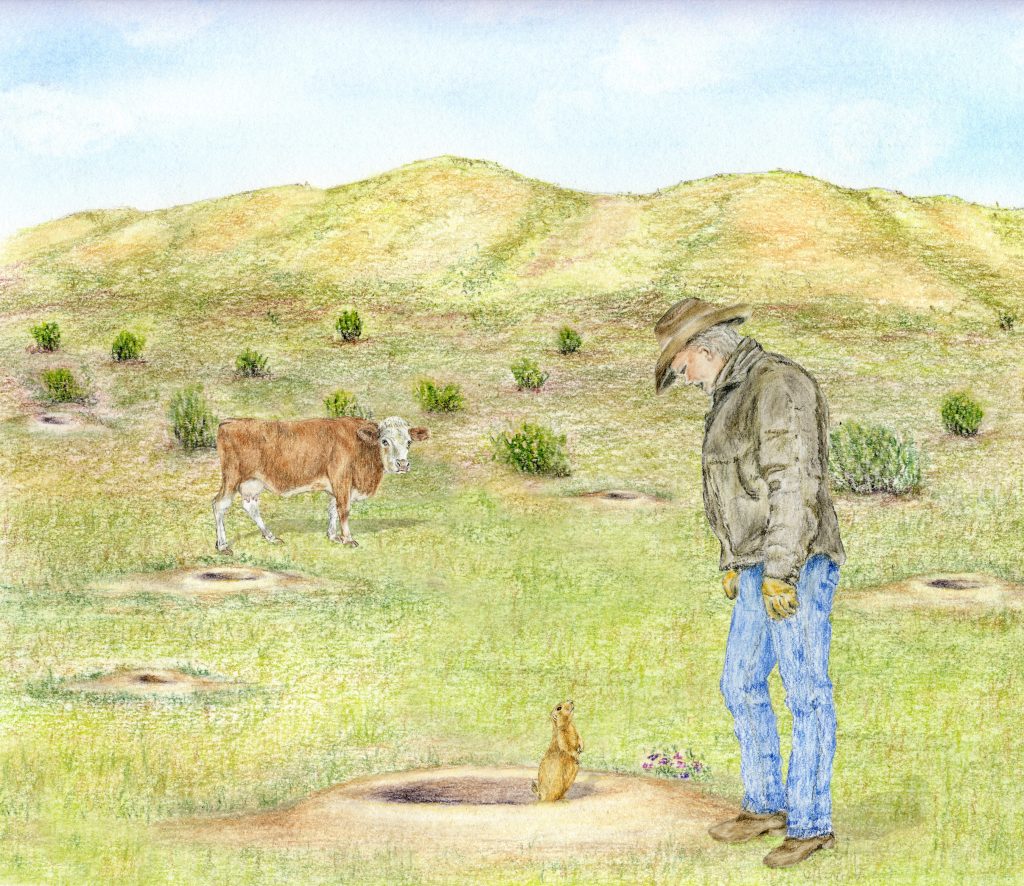
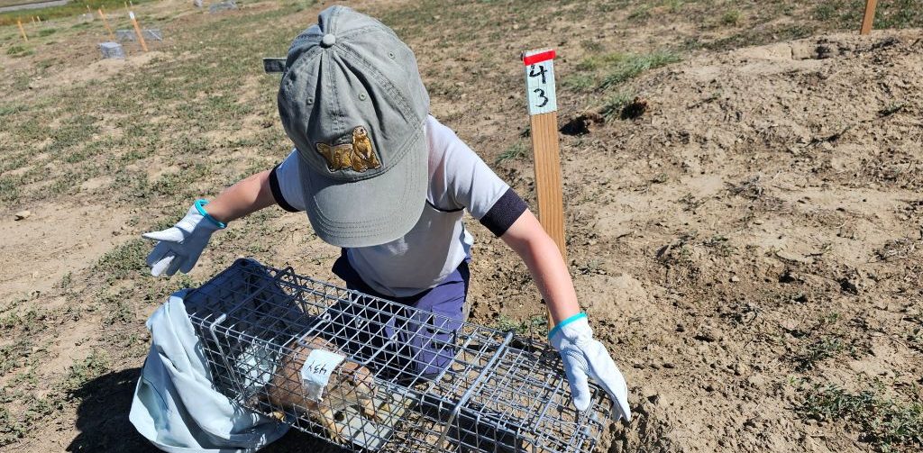
Black-tailed prairie dogs (BTPDs) are a keystone species and ecosystem engineer whose colonies support a web of grassland wildlife, including numerous arthropods, amphibians, snakes, other rodents, rabbits, burrowing owls, mountain plovers, raptors, badgers, coyotes, swift and kit foxes. BTPDs also support the endangered black-footed ferret, which depends on prairie dogs for the vast majority of their diet. Prairie dog burrows and their grazing also enhance soil health, water infiltration, and forage quality for large herbivores, including cattle and bison. Historically, colonies stretched across extensive regions of North America's Central Grasslands, from southern Canada to northern Mexico (Davidson et al. 2025). Over the past century, habitat loss, eradication campaigns, and the introduced plague bacterium Yersinia pestis have reduced prairie dog populations by more than 95% across their historical range (Davidson et al. 2025).
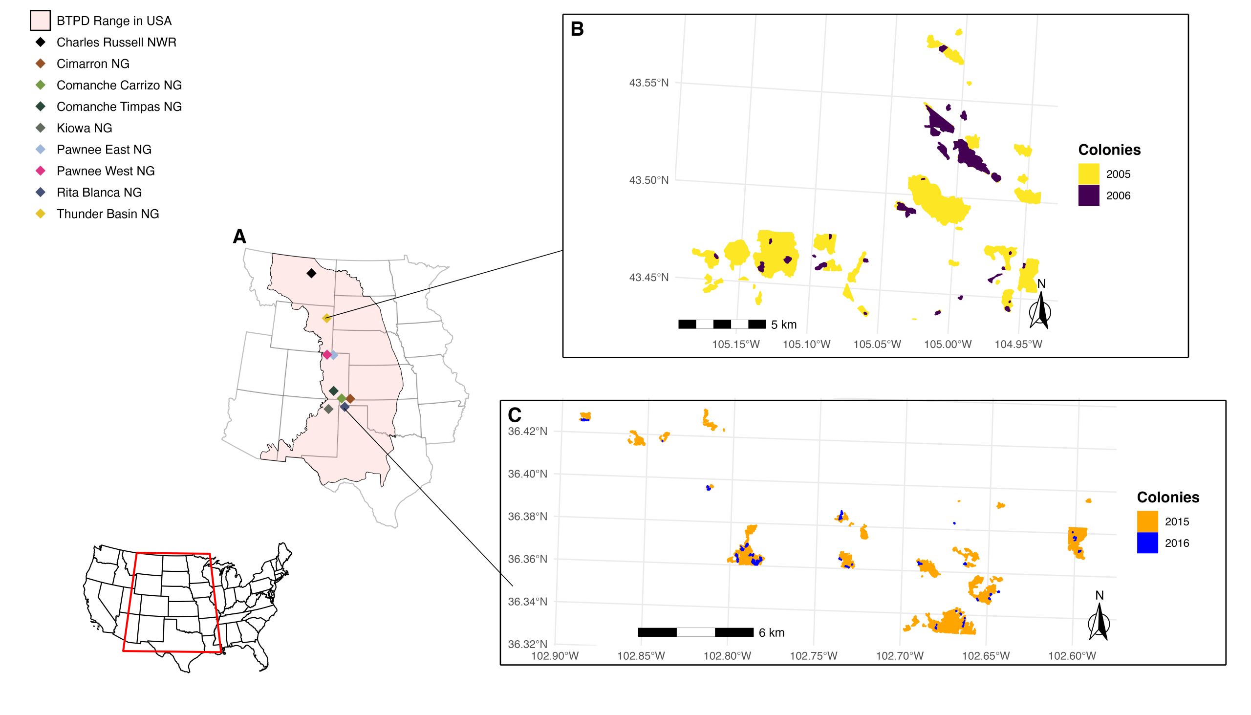
Study sites and examples of colony die-offs used to inform PDOG MAPR. (A) The range distribution (pink polygon) of black-tailed prairie dogs in central North America (within the US), with colored diamonds denoting each of the nine study sites (eight National Grasslands and one National Wildlife Refuge) included in the PDOG MAPR v2 project. (B) Example of a plague outbreak at Thunder Basin National Grassland, whereby many colonies suffered extensive die-offs due to plague during 2005–2006. (C) Example of a plague outbreak at Rita Blanca National Grassland, whereby many colonies suffered extensive die-offs due to plague during 2015–2016.
Where plague persists, colonies cycle through boom-and-bust periods over roughly 5- to 15-year intervals, expanding steadily for years before collapsing rapidly when plague sweeps through, as shown in panels B and C in the figure above. These collapses can be dramatic. In 2017, the largest documented prairie dog colony complex in North America, at Thunder Basin National Grassland, Wyoming, declined by more than 99% in a single year, from 10,000 ha to just 47 ha, with cascading losses in associated wildlife (Davidson et al. 2022; Duchardt et al. 2023).
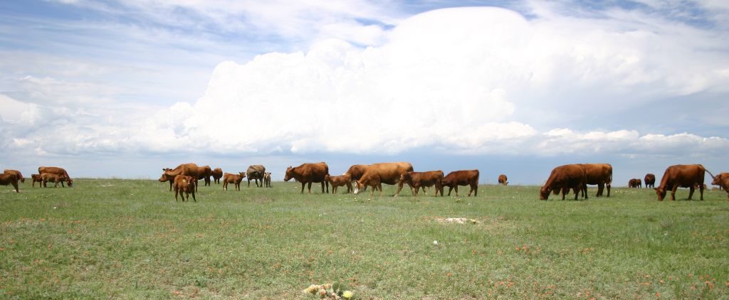
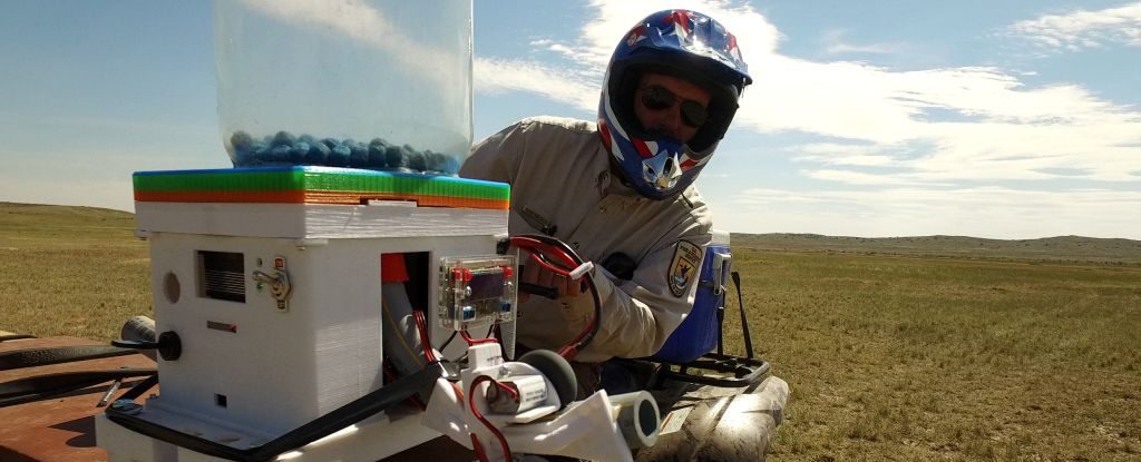
Most years, the relationship between prairie dogs and cattle is neutral or even beneficial; cattle have been observed grazing colonies preferentially when off-colony forage is scarce or low quality, since prairie dog activity keeps colony vegetation younger and higher in quality (Augustine and Derner 2021; Sierra-Corona et al. 2015). However, large, persistent colonies can bring prairie dogs into conflict with livestock producers, especially during drought, when forage is already scarce (Augustine and Derner 2021; Augustine et al. 2024). Tools for managing colonies (plague mitigation and lethal control) come with trade-offs: both can be costly, and neither reliably delivers lasting results on its own (Buehler et al. 2025). Forecasting where and when colonies are likely to grow or collapse helps producers and managers target these tools more effectively, rather than reacting after conflict or collapse has already begun.
PDOG MAPR translates complex prairie dog colony, disease, and weather dynamics into spatially explicit, manager-ready outputs, complementing local expertise and facilitating dialogue among agencies, producers, and conservation practitioners. This collaboration is especially relevant in working rangelands, where coexistence between prairie dogs and human land use is central to sustaining both ecological function and agricultural viability.
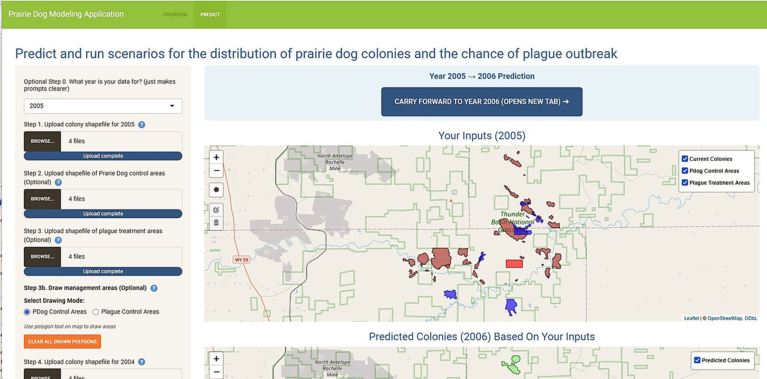
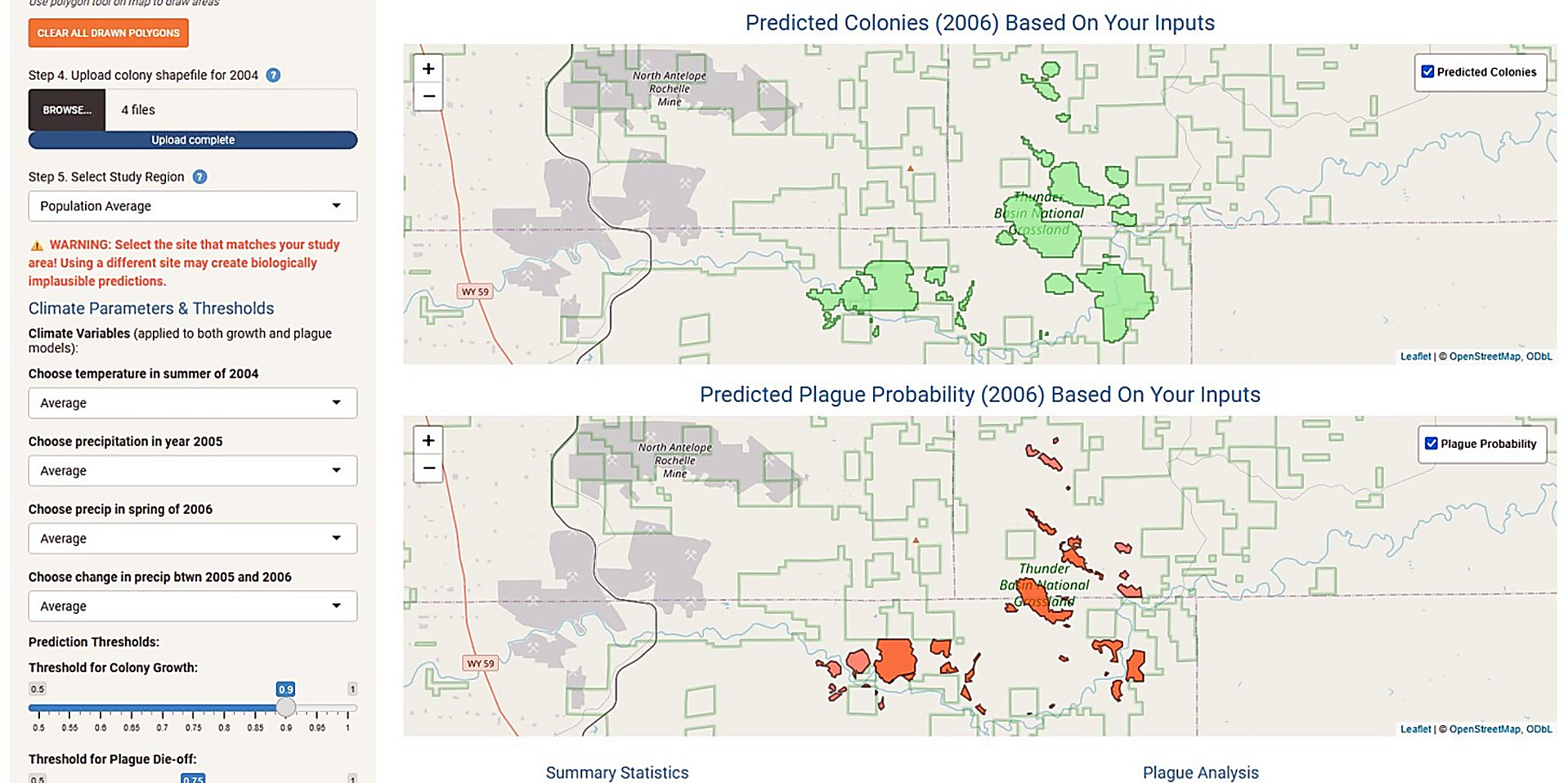
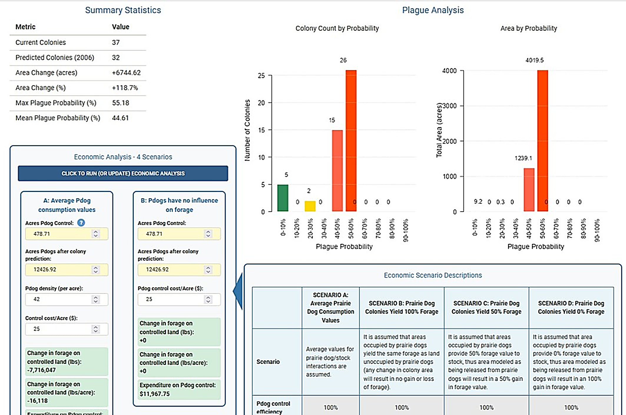
The PDOG MAPR interface. Users work through upload, scenario setup, and spatial prediction in a single web app.
How it was built
PDOG MAPR is built on peer-reviewed machine-learning models that predict two things for every location on the landscape: the probability that prairie dogs will expand into unoccupied areas, and the probability that an existing colony will experience a plague die-off. The beta version of the tool, described in Sergeyev et al. 2026, was trained on 20 years of colony data from eight National Grasslands (Barrile et al. 2023) and remains accessible for planning use. The current version, PDOG MAPR v2, is built on an improved model is built on (Barrile et al. 2026), which found that the plague process can differ across space and time (the effect of climate on plague can vary depending on the grassland, for example). Consequently, the improved model in the tool not only expands the training data to nine grasslands in total, spanning 29 years, but importantly uses a more robust mixed-effects approach that better accounts for differences in colony dynamics among grasslands.
How the tool works & key features
Users upload their current colony boundaries, optionally add areas where proposed lethal control or plague mitigation will be applied, provide prior-year colony spatial data so the model can detect recent plague activity, select the climate conditions they want to simulate, and choose the study region that matches their site. The tool returns:
- Spatially explicit predictions: maps of predicted colony distribution and plague outbreak probability for the following year, across a range of weather and management scenarios.
- Scenario-based planning: simulate the effects of plague mitigation, lethal control, or combinations of both, with an efficacy setting to model realistic sub-100% treatment effectiveness.
- Economic analysis: a built-in cost-benefit tool weighing management costs against potential gains or losses in cattle production driven by changes in forage availability.
PDOG MAPR is a strategic planning aid designed to complement local expertise.
These case studies used PDOG MAPR's original beta model, as described in Sergeyev et al. 2026. Computer simulations at both sites demonstrated that unmanaged plague events can cause catastrophic colony collapse, similar to what has been observed in nature. The tool projected an 89% decline in colony area at Thunder Basin National Grassland (Wyoming) and 94% at Comanche National Grassland (Colorado). Plague mitigation, when applied at a sufficient spatial extent, substantially reduced collapse risk at both sites in simulations, providing guidance for targeted management in real-world ecosystems.
Thunder Basin (WY): Where colonies are large and well-connected, mitigation applied within a 500-meter radius of colony centers kept plague risk below the collapse threshold and produced 12% colony growth instead of decline.
Comanche (CO): Where colonies are smaller and more fragmented, plague mitigation was the only strategy that reliably prevented collapse, reducing a projected 94% decline to 23% in one scenario.
The overarching finding: management choices can meaningfully alter colony trajectories, and the right approach depends on a colony's size and spatial configuration.
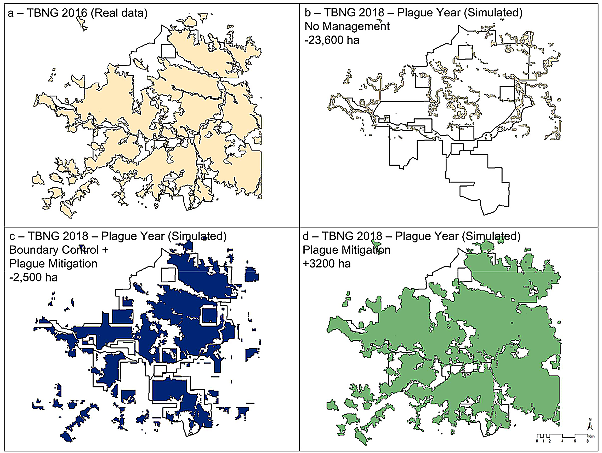
Scenario comparison. Predicted colony outcomes with and without plague mitigation and boundary control at Thunder Basin National Grassland (TBNG).
KEY RESEARCH FINDINGS:
The science behind PDOG MAPR v2 comes from a 29-year study of what drives plague outbreaks across nine grasslands (Barrile et al., 2026). The study’s central finding is what scientists call nonstationarity: the same factor can drive plague in one place and barely matter, or even work in reverse, somewhere else.
Here’s what the study found:
- Host structure is a consistent driver. Across all nine grasslands, larger, more clustered, and more structurally connected colonies were reliably more likely to experience plague outbreaks.
- Weather is a local driver. A wetter-than-average year raised plague risk at some grasslands and lowered it at others. There’s no single climate rule that holds everywhere.
- Drivers shift through an outbreak, and even neighboring grasslands can differ. Weather often triggers the onset of an outbreak, while colony structure shapes how far and how fast it spreads. Two nearby grasslands with similar climates can experience plague for entirely different reasons, depending on how their colonies are arranged on the landscape.
- Management takeaway. Because climate effects are local, interventions such as vaccination or flea and vector control are likely to perform differently from place to place. Targeting large, clustered, well-connected colonies, especially when local conditions also favor transmission, is key to reducing risk.
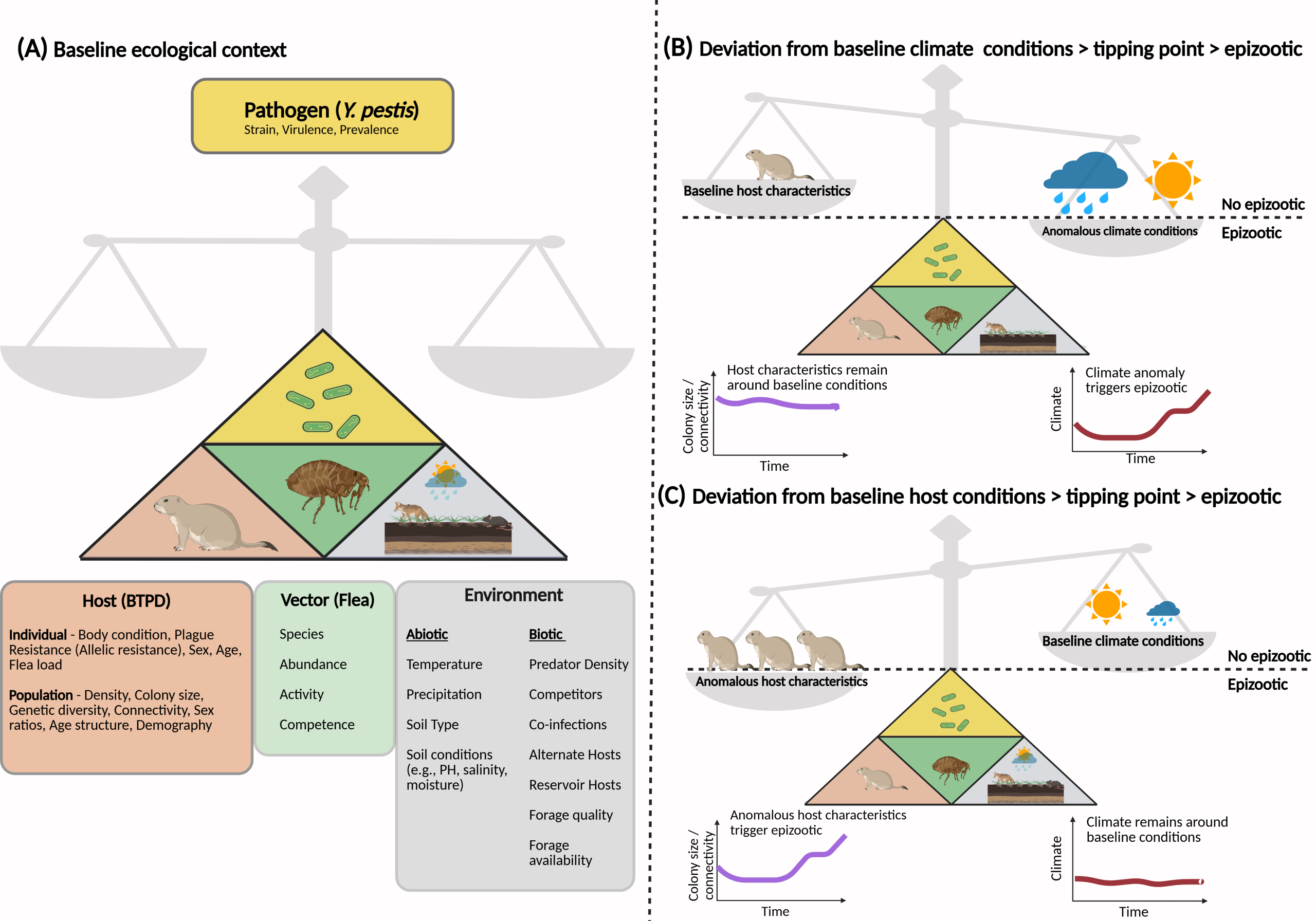
How weather and colony structure combine to trigger plague outbreaks. Plague outbreaks emerge from how the host (prairie dogs), pathogen (Y. pestis), and vector (fleas) interact with their biotic and abiotic environment (A). Whether a particular outbreak is “climate-triggered” or “host-triggered” may depend on baseline conditions: when colonies are consistently large and well-connected, an unusual weather event may be most likely to trigger a plague outbreak (B). When colonies are smaller or more fragmented, it may take a substantial shift in colony structure itself, instead of weather, to trigger a die-off (C).
Prairie dog populations are highly dynamic, cycling between growth and rapid collapse as plague moves through. These cycles impact biodiversity, create economic uncertainty for ranchers, and produce difficult management trade-offs. PDOG MAPR equips stakeholders with the information needed to:
- Predict colony dynamics and plague outbreaks a year ahead.
- Evaluate the cost-effectiveness and realistic efficacy of management strategies.
- Promote coexistence between prairie dog ecosystems and livestock production.
By pairing science-based forecasts with an accessible interface, the tool helps managers direct limited resources where and when action is most likely to work.
Everything you need to explore the tool, watch a walkthrough, and read the underlying science:
- Tool: Launch PDOG MAPR v2
- Foundational paper: Sergeyev et al. 2026, Rangeland Ecology & Management.
- Foundational model: Barrile et al. 2023, Ecological Applications.
- Nonstationarity paper: Barrile et al., Oikos, 2026.
- Data: Dryad Digital Repository
Project Leads

Dr. Ana Davidson
Principal Investigator
Colorado Natural Heritage Program
Colorado State University

Dr. Gabriel M. Barrile
Dept. of Zoology & Physiology; School of Computing
University of Wyoming
Collaborators
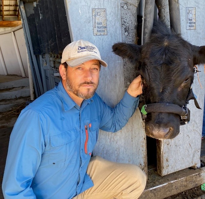
Dr. David Augustine
USDA-Agricultural Research Service
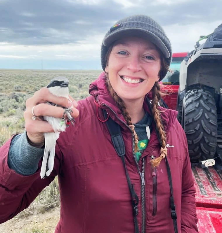
Dr. Courtney J. Duchardt
University of Arizona

Dr. Bort Edwards
Colorado Natural Heritage Program
Colorado State University

Dr. Cynthia R. Hartway
Bird Conservancy of the Rockies
Joshua F. Layfield
University of Wyoming

Dr. Lauren M. Porensky
USDA-Agricultural Research Service

Dr. Imtiaz Rangwala
CIRES, University of Colorado Boulder

Dr. Maksim Sergeyev
USDA-Animal and Plant Health Inspection Service

Dr. Kevin T. Shoemaker
University of Nevada, Reno
PDOG MAPR draws on data and field support from the USDA Forest Service, the Thunder Basin National Grassland Working Group, the Thunder Basin Grasslands Prairie Ecosystem Association, the U.S. Fish and Wildlife Service, Great Plains Wildlife Consulting, Inc., Randy Matchett and UL Bend National Wildlife Refuge. The tool is hosted by the USGS North Central Climate Adaptation Science Center.


This research was supported by the USDA National Institute of Food and Agriculture (Award No. 2020-67019-31153) and the USGS North Central Climate Adaptation Science Center (Agreement No. G24AC00269).
Last updated: 08-20-2026