Colorado Natural Heritage Program Logo Colorado Natural Heritage Program Logo CNHP
  • About Us
    • About Us
      • Biennial Report
      • Strategic Plan
    • Conserving Biodiversity
    • Contact Us
    • Staff Directory
    • Careers
      • Employment
      • Internship
      • Volunteer
    • Meetings
    • The NatureServe Network
    • Partners
  • Our Work
    • Ecology
    • Wetlands
    • Plants
    • Animals
    • Climate Change
    • Education
    • Invasive Species
  • Our Services
    • Database Development
    • GIS Analysis & Modeling
    • Mapping
    • Surveys & Inventories
    • Monitoring & Assessment
    • Conservation Planning
  • Our Data
    • About CNHP Data
    • Request Data
    • Contribute Data
    • Download Data
    • Tracking Lists
    • PCA Reports
    • Help & Documentation
  • Maps
    • CNHP Spatial Layers
    • Wetlands Mapper
    • COMaP
    • Conservation Environmental Review Tool
  • Library
    • Reports
    • PCA Reports
    • Tracking Lists
    • Field Guides
      • Rare Plant Guide
      • Colorado Wetland Field Guides
  • Blog
  • Donate Now

CODEX- Colorado’s new mapping and reporting tool

March 4, 2020

CNHP and CPW just hosted our second working group meeting for the new integrated mapping and reporting tool we are developing together with many other partners. The Working Group gave the tool its name today- it will be called the CODEX, for Colorado Conservation Data Explorer.

The CODEX will synthesize data from CNHP, CPW, Bird Conservancy of the Rockies, USFWS, and other sources. Users will be able to submit project areas for review, obtain comprehensive conservation planning information, make maps, and run analyses. Danielle Naumann with CPW may have said it best when she said she is excited about the tool because “it will help us start with a more informed initial conservation about plans for land use.”

The same technology is already doing this in ten other states. Our first name for this tool was the Conservation Environmental Review Tool (CERT), which is what Nebraska calls their version of this tool. But today the Working Group gave Colorado’s tool a name that reflects what the tool will bring to Coloradoans.

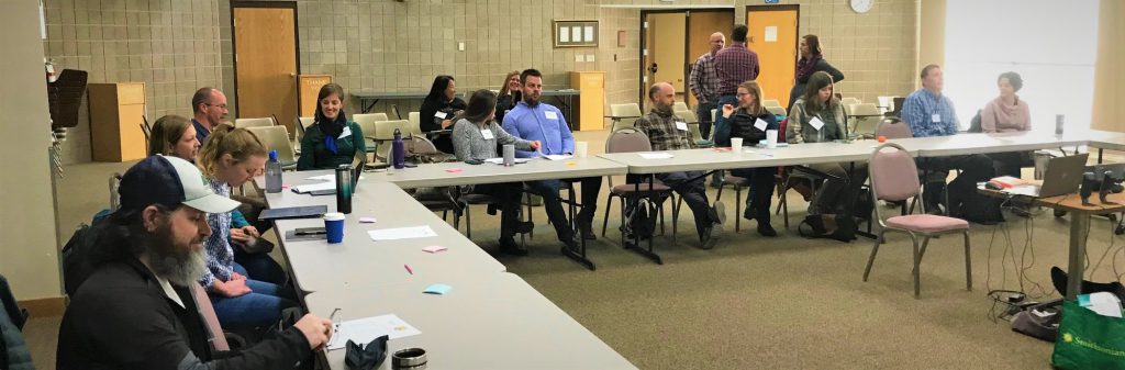
  • Working group meeting

The CODEX will help land owners, land trusts, and Great Outdoors Colorado in voluntary conservation programs that conserve private land. It will provide a portal for everyone from the general public, agency experts, to our politicians to see maps of important resources in Colorado. The CODEX will support trail planning along with empowering Colorado’s implementation of the SHIFT principles, and the Statewide Comprehensive Outdoor Recreation Plan (SCORP).

We are thrilled about the new name, and to bring this new tool to Colorado in 2020.

SHARE
FACEBOOK
TWITTER
LINKEDIN
REDDIT
EMAIL
Filed Under: About CNHP, CNHP, CNHP in the News, CODEX, Collaborations, Colorado Natural Heritage Program, Conservation, Friends and Partners, Maps, Natural Heritage Programs, Tools

Welcome 2020 Siegele Conservation Science Interns
Understanding Florida bonneted bat distribution in south-central Florida

About Us

About Us
Conserving Biodiversity
Contact Us
Staff Directory
Careers
Employment
Internship
Volunteer
Meetings
The NatureServe Network
Partners

Our Work

Ecology
Wetlands
Plants
Animals
Climate Change
Education
Invasive Species

Blog Archive

Blog Categories

Web Projects

  • Rare Plant Guide Online
  • Colorado Wetland Info Center
  • COMaP - Colorado Protected Lands
  • Colorado Bat Working Group
  • STReaMS - Endangered Fishes Database

About Us

  • About Us
  • Conserving Biodiversity
  • Contact Us
  • Staff Directory
  • Careers
  • The NatureServe Network
  • Partners
  • Site Map
Warner College of Natural Resources Logo
  • Apply to CSU
  • Equal Opportunity
  • Disclaimer
  • Privacy Statement
  • Search CSU
  • CSU Land Acknowledgement
  • CSU Principles of Community
© 2026 Colorado Natural Heritage Program
Colorado State University Logo
  • About Us
    ▼
    • About Us
      ▼
      • Biennial Report
      • Strategic Plan
    • Conserving Biodiversity
    • Contact Us
    • Staff Directory
    • Careers
      ▼
      • Employment
      • Internship
      • Volunteer
    • Meetings
    • The NatureServe Network
    • Partners
  • Our Work
    ▼
    • Ecology
    • Wetlands
    • Plants
    • Animals
    • Climate Change
    • Education
    • Invasive Species
  • Our Services
    ▼
    • Database Development
    • GIS Analysis & Modeling
    • Mapping
    • Surveys & Inventories
    • Monitoring & Assessment
    • Conservation Planning
  • Our Data
    ▼
    • About CNHP Data
    • Request Data
    • Contribute Data
    • Download Data
    • Tracking Lists
    • PCA Reports
    • Help & Documentation
  • Maps
    ▼
    • CNHP Spatial Layers
    • Wetlands Mapper
    • COMaP
    • Conservation Environmental Review Tool
  • Library
    ▼
    • Reports
    • PCA Reports
    • Tracking Lists
    • Field Guides
      ▼
      • Rare Plant Guide
      • Colorado Wetland Field Guides
  • Blog
  • Donate Now