By Laurie Gilligan, CNHP Wetland Ecologist
CNHP does much more than track rare species and ecological communities. Part of knowing what is special in the natural world is documenting what is out there to begin with, and that process inevitably leads to some adventures. During the summer of 2010, CNHP conducted year 2 of our basinwide wetland profile of the North Platte River Basin.
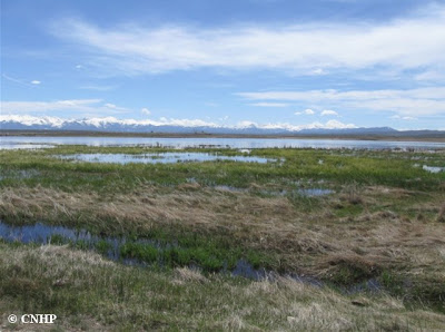
Using GIS and statistical tools, 100 target wetland sites were randomly selected from digital National Wetlands Inventory maps of the basin. XY coordinates of each target site were uploaded into a handheld GPS and the field crew was tasked with heading into the field to survey each one. In three short months, we succeeded! The nature of random points is that they fall on both public and private land and anywhere within the basin from the dense riparian floodplains of North Park up to alpine fens in melting mountainous headwaters. These surveys will be used to gain a better sense of what types of wetlands are in the basin, what condition they are in, and what types of wildlife habitat they support.
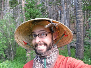
Here is a behind-the-scenes look of a day in the life of these wetland surveys. Not all trails lead to the magical GPS points, so our crew got to see the real deal – and we did it right, with high field fashion, no pain no gain, and a humble respect for spring swamp monsters and lightening. But of course, when it’s just you and a teammate at a 10,000-foot elevation wetland that you scaled miles of boulder fields to get to, and it’s far past the snowmelt season, yet the sedges and spikerushes are still glistening and seemingly moving because of abundant flowing groundwater reaching the surface and held in place by meters of organic material that deposited in saturated conditions over hundreds of years or more – you realize that life is pretty good, and there is a lot to discover. Ready to get your boots wet?
Introductions
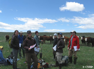
Introducing the North Platte field crew, plus a couple of other smiling faces. From left to right: Nina Hill (birder guru); Marin Chambers (helpful volunteer); Erick Carlson, a.k.a. “Erick with a ‘k'” (field tech and GIS expert directly from CSU); Joanna Lemly (project PI), who we all owe a big hug for a paycheck and sweet summer job; Lauren Alleman (Louisiana mangrove expert extraordinaire); Laurie Gilligan (North Platte crew lead); Kat Sever (on CNHP’s 2010 REMAP crew, see next week’s blog); and Nick Spackman (visiting from Wyoming for wetlands training). And of course, where there were wetlands in North Park, there were cows, so they also deserve a nod for participation.
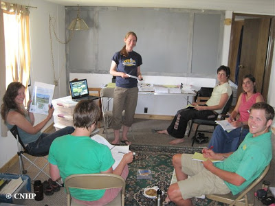
Two additional wetlanders joined the crew a couple of weeks after all the training session photo ops:
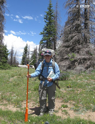
Setting the Scene
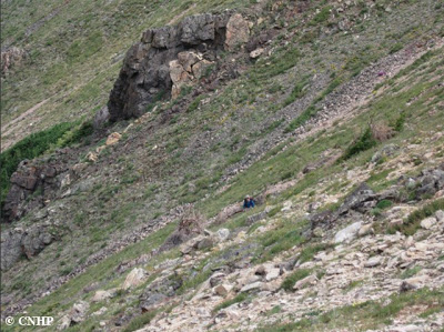
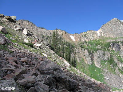
Starting off a day in the field, the crew needed to get to the wetlands. So we often took a nice big hike. Glorious views, boulder-fields, scaling rocky outcroppings and waterfalls along alpine lakes, and some sweat and tears. Not bad for the start of the day, eh?
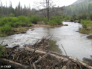
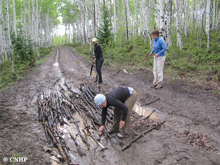
Even when there was a trail or road leading the way, there were other hazards. A lot of wetlands we sampled were created and sustained by beavers – the best ecosystem engineers. And we were prepared to use their tricks of the trade.
Stay tuned for Part 2 on Thursday, when we actually get some work done!


