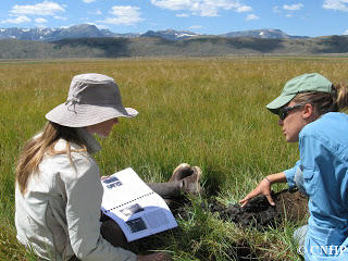
CNHP’s Ecology Team initiated Colorado’s second basin-wide wetland condition assessment this August. Following the success of the pilot Rio Grande Headwaters Wetland Condition Assessment, this second EPA-funded project is focused on the North Platte River Basin in north central Colorado. The project will create a wetland profile of the North Platte River Basin, documenting the spatial distribution of wetland types and ecological condition, and will relate that information to potential threats and stressors.
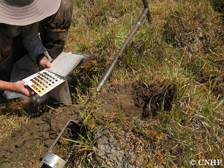
The project objectives are to (1) compile existing spatial data on wetlands in the North Platte River Basin; (2) conduct a statistically valid, field-based survey of wetland condition in the basin; and (3) model the distribution of wetland condition throughout the basin using collected field data and additional spatial data on potential threats and stressors. This information is necessary to prioritize on-the-ground efforts for efficient and effective conservation and management.
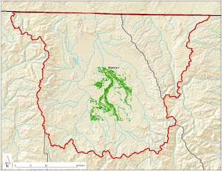
Last winter, GIS Analysts with CNHP and the Colorado Division of Wildlife compiled all known sources of wetland mapping for the North Platte River Basin. We also acquired existing paper maps of wetlands created in the 1970s and 80s by the US Fish and Wildlife Service’s National Wetlands Inventory (NWI). These paper maps were scanned in and digitized to create a seamless, wall-to-wall map of wetlands in the basin. From this map, 100 randomly selected sample points were used for the wetland condition assessment.
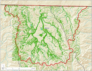
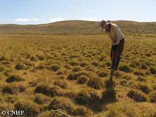
This is a two phase project. In August, 10% of the sample points were visited and assessed using methods developed at CNHP. These sites will be revisited, along with the remaining points, during the 2010 summer field season. The initial 2009 data collection will allow us to estimate inter-annual variability associated with the assessment methods. This field season also gave the project team an opportunity to explore the basin and its many wetlands in order to ensure that the study design would be successful.


